Good site planning starts with knowing the land. Before drawings, permits, or construction schedules, engineers need facts they can trust. That is where surveying services come in. They give clear answers about the site so planning decisions are based on reality, not assumptions.
For engineering consultants, civil engineers, and surveyors, surveys are not paperwork. They are working tools. Below are the key types of surveying services used during site planning, explained in a practical and straightforward way.
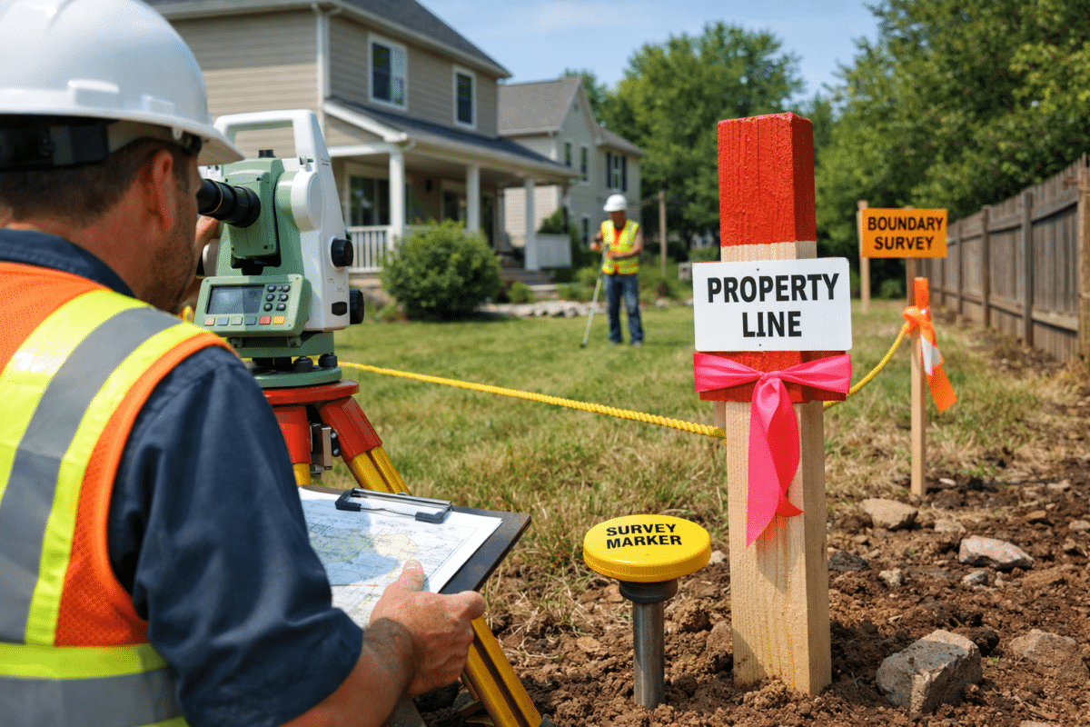
Boundary Surveys: Knowing What You Can Build On
A boundary survey confirms the legal limits of a property. It shows where the site starts and ends and identifies easements or rights of way.
During site planning, this survey helps answer basic service survey questions:
- Where can buildings be placed?
- Are there shared access areas?
- Is any structure crossing a property line?
Without a boundary survey, designs may need changes later. That costs time and creates risk. Professional surveyors review records, deeds, and field evidence to make sure boundaries are correct.

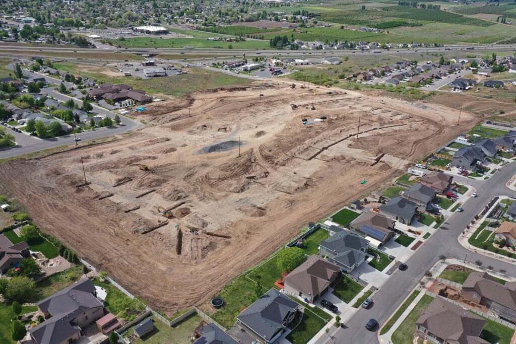
Topographic Surveys: Reading the Shape of the Land
A topographic survey shows ground levels and site features. This includes slopes, drainage paths, trees, roads, and visible utilities.
Civil engineers rely on this data to:
- Design grading plans
- Manage stormwater
- Plan access and circulation
For site planning, topographic surveys show how the land works. They help avoid drainage problems and reduce earthwork costs. Among all surveying services, this one often shapes early design decisions the most.
Utility Surveys: Seeing What Is Hidden
Utility surveys identify known underground and surface utilities. These include water, sewer, power, gas, and communication lines.
This survey helps planners avoid surprises. It answers key service survey questions such as:
- Where can foundations go safely?
- Are utilities limiting layout options?
- What areas need protection during excavation?
Utility data supports safer designs and fewer conflicts during construction. It is a critical step in responsible site planning.
ALTA Surveys: Supporting Planning and Approvals
For commercial or financed projects, an ALTA survey is often required. It combines boundary data with site improvements and recorded rights.
Engineering teams use this survey to:
- Support legal and title reviews
- Confirm site access
- Identify constraints early
While not needed for every project, ALTA surveys play an important role when risk and liability are part of planning decisions.
Control Surveys: Creating a Reliable Reference
Control surveys establish fixed reference points across the site. These points allow all measurements to stay consistent.
During site planning, control surveys ensure:
- Designers work from the same coordinates
- Layouts match real-world positions
- Errors do not multiply over time
This type of surveying service supports teamwork between surveyors, engineers, and contractors.
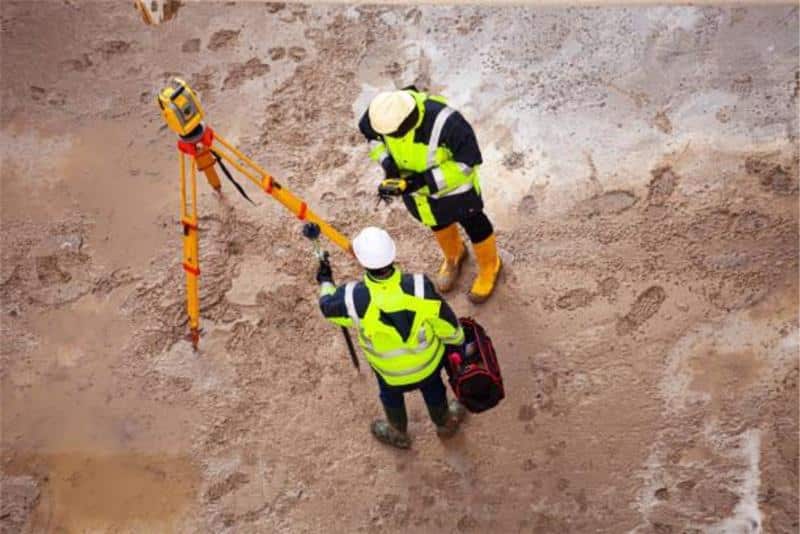
Construction Surveying Services: Planning with Accuracy in Mind
Construction surveying services often begin before construction starts. Early involvement helps align planning with real site conditions.
These services support:
- Layout feasibility
- Benchmark placement
- Design verification
By including construction surveying services during planning, teams will reduce field issues later. It keeps plans buildable and practical.
Existing Conditions and As-Built Surveys
When working on developed sites, surveyors often document existing structures, pavements, and utilities. This data shows what is already on the ground.
For site planning, this information helps answer:
- What can stay?
- What needs removal?
- How new work fits existing features?
Accurate existing-condition surveys to reduce redesigns and speed up approvals.
Why Professional Surveyors Matter
Survey data drives planning decisions. If that data is wrong, everything built on it suffers. Professional surveyors bring experience, local knowledge, and accountability.
They understand how survey data affects:
- Engineering design
- Permitting
- Construction layout
Their role is not just measuring land. It is protecting the project.
Plan with Confidence with Atlas Engineering
Every successful project starts with clear information. From boundary work to construction surveying services, reliable surveying services give planning teams the confidence to move forward.
Atlas Engineering provides accurate, dependable surveying support for site planning projects of all sizes. With experienced professional surveyors and a clear, practical approach, Atlas Engineering helps reduce risk and keep projects on track from the start.
Before design begins, make sure the facts are right. Start your site planning with Atlas Engineering and build on certainty.
Leading Engineering Services in Utah & Idaho
Frequently Asked Questions
1. Why do we need surveying before site planning?
Because you can’t plan what you don’t understand. Surveying services show what the land actually looks like, not what it seems like. They tell you where the lines are, how the ground moves, and what’s already there. Without that, planning turns into trial and error.
2. What survey usually comes first?
Almost always the boundary survey. Before anything else, you need to know what land you own and where you can build. It also shows easements and access areas that can affect the layout. Everything else depends on this.
3. If the site looks flat, do we still need a topographic survey?
Yes. Looks can be misleading. Small elevation changes affect drainage and grading. A topographic survey gives engineers real numbers so water flows the right way and the site works the way it should.
4. Why bother with utility surveys so early?
Because utilities don’t move easily. If you design first and find utilities later, plans have to change. Utility surveys help avoid that. They show where lines run so foundations, roads, and structures don’t end up in the wrong place.
5. When should surveyors get involved in the project?
Right at the start. When professional surveyors are involved early, planning is based on facts, not assumptions. Teams that work with experienced groups like Atlas Engineering usually face fewer surprises and less rework down the line.