Earthwork Management with Drone Technology
At Atlas Engineering, we leverage cutting-edge drone surveying technology to optimize earthwork operations, delivering accurate data, reducing costs, and enhancing project efficiency.
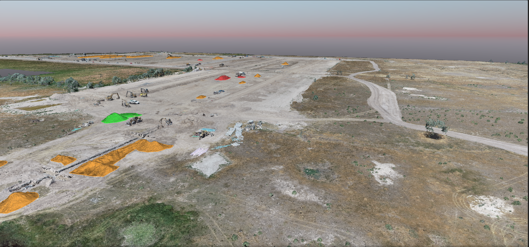
On projects like Arrowhead Springs, our team utilized drone mapping to verify earthwork quantities with precision, ensuring that contractors had reliable, real-time data throughout every phase of the project. By providing high-resolution 3D models and volume calculations, we were able to minimize unnecessary hauling, reducing both time and cost for our clients.
Whether you’re balancing cut and fill volumes or tracking progress on large-scale grading, our drone-enabled earthwork solutions offer:
- Fast, safe, and detailed site mapping
- Accurate volume verification and quantity tracking
- Significant reductions in hauling costs
- Streamlined coordination between contractors, engineers, and owners
Atlas Engineering combines civil engineering expertise with the latest drone technologies to bring clarity, control, and confidence to your earthwork projects.


